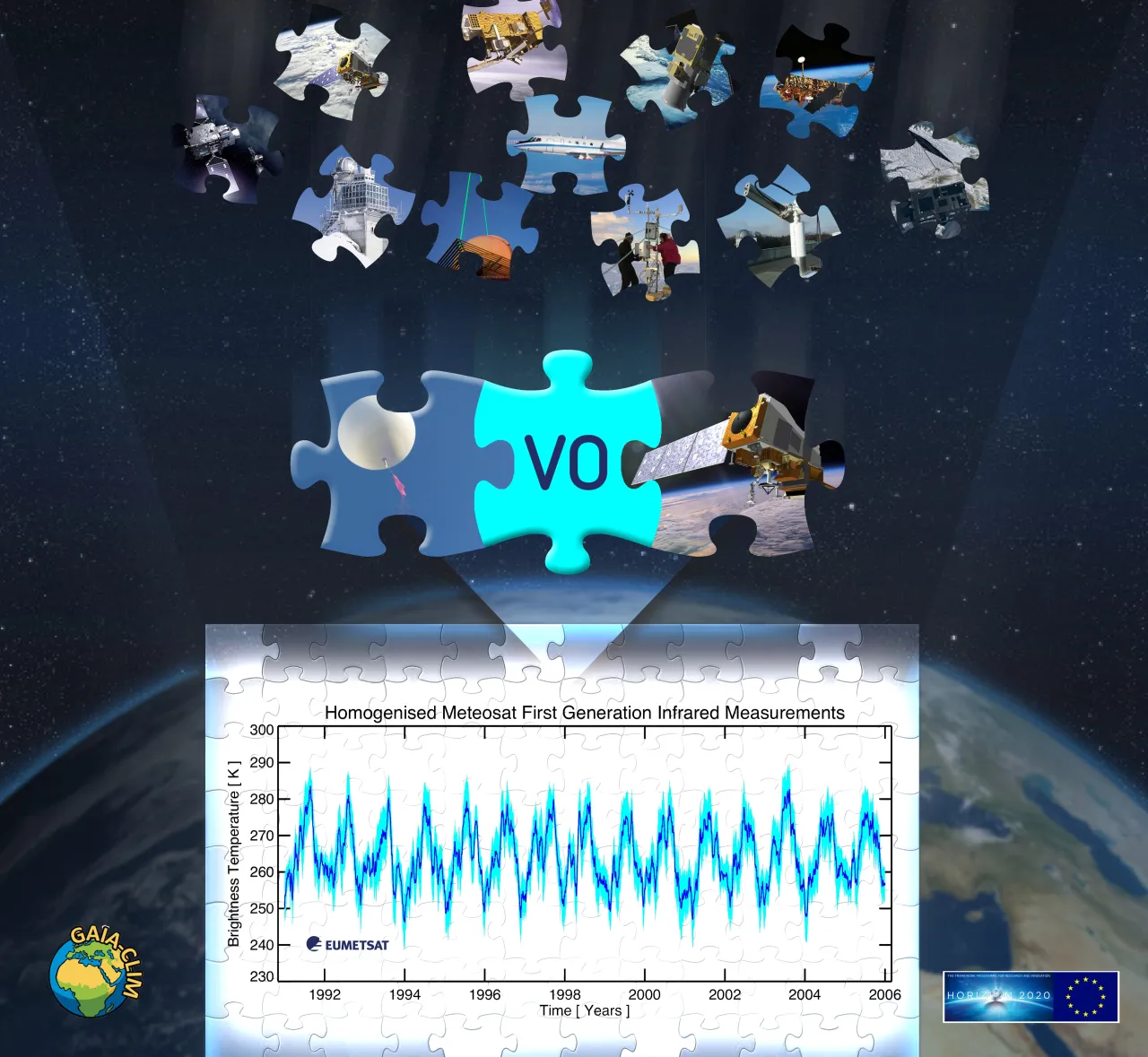
This workpackage is concerned with enabling user access to and use of satellite to non-satellite data comparisons through a “Virtual Observatory” facility. A range of visualisation and analysis tools will be developed to enable users to explore, analyse, and interact with the data. The Virtual Observatory shall be built to showcase potential methods by which the underlying scientific advances in workpackages 1 through 4 can be realised. It will be built in such a way that it could subsequently become an operational service, but within this project shall only serve as a proof-of-concept facility. The workpackage shall:

  • Create a collocation database of reference-quality non-satellite measurements and satellite measurements (Task 5.1).
  • Build a graphical user interface and user tools (Task 5.2).
  • Evaluate the resulting Virtual Observatory facility (Task 5.3).
  • Produce a transition roadmap of additional steps required to make the Virtual Observatory operational (Task 5.4).
Image

Figure: Front page of the Virtual Observatory facility.


G5.11 Non-operational provision of fiducial reference-measurement data and some satellite-derived products reduces their utility for monitoring and applications

Copernicus Services, including the Climate Change Service (C3S), will provide information in close to real time using global and regional reanalysis outputs, as well as satellite L2 products. These outputs are not always consistent with their own climatology, because input data are not produced with the same quality at real-time as they are in elaborated climate data records.

G5.09 Need to propagate various fiducial reference quality geophysical measurements and uncertainties to TOA radiances and uncertainties to enable characterisation of satellite FCDRs

Presently, the evaluation of the quality of Fundamental Climate Data Records (FCDR) (observations at radiance level that serve as key inputs for model-based reanalyses and retrievals of GCOS ECVs) is based mainly on isolated activities by individual research groups. Given the importance of FCDRs for all downstream data records, there is an important and evolving requirement to improve the assessment of FCDRs by utilising non-satellite reference measurements and model fields, among other means, for validation.

G5.07 Incomplete development and/or application and/or documentation of an unbroken traceability chain of data manipulations for atmospheric ECV validation systems

Recently established quality assurance and validation guidelines and systems are not sufficiently well recognised or understood in the global community, where validation purposes, methodologies, and results can differ significantly from one report to another.

G5.06 Extraction, analysis, and visualization tools to exploit the potential of fiducial reference measurements are currently only rudimentary

Climate research and services have an increasing need to consider a large amount of observational data and model outputs simultaneously in applications. Because the data volumes provided by satellite observations and ensemble model runs have increased to levels that prevent easy download to local compute environments, there is an enhanced need for tools that provide functionality for data extraction, analysis, and visualisation at source or on cloud compute resources.

G5.01 Vast number of data portals serving data under distinct data policies in multiple formats for fiducial reference-quality data inhibits their discovery, access, and usage for applications, such as satellite Cal/Val

Presently, access to high-quality reference network data and satellite data is obtained through a variety of portals, using a broad range of access protocols, and the data files are available in an array of native data formats that lack interoperability (see Gap 1.06). There also exists a broad range of data policies from open access through delayed mode restricted access.